Neighborhood guide
Living in Pocket & Greenhaven
A planned suburb inside a bend of the Sacramento River, about five miles south of downtown, built mostly from the 1960s through the 1980s around canals, greenbelts and the river levee.
Where it is
The Pocket takes its name from the bend in the Sacramento River that wraps around it on the south, west and north, with Interstate 5 on the east. The city’s broader Pocket/Greenhaven planning area runs east to Freeport Boulevard and north to 35th Avenue. It sits about five miles south of downtown in ZIP code 95831.
A short history
The city annexed the area in 1959, when it was still mostly farmland. In 1958 the Lincoln and Parker Development Company bought more than 700 acres of the King and Zacharias ranches for a planned community called Greenhaven ’70. It broke ground in 1961 and was named Best Planned Community of the Year in 1962.
Interstate 5 and new road links in the 1970s brought a wave of growth, and most homes date from the 1970s and 1980s. The historic Dutra House at Pocket Road and Greenhaven Drive dates from the area’s farming years.
The homes
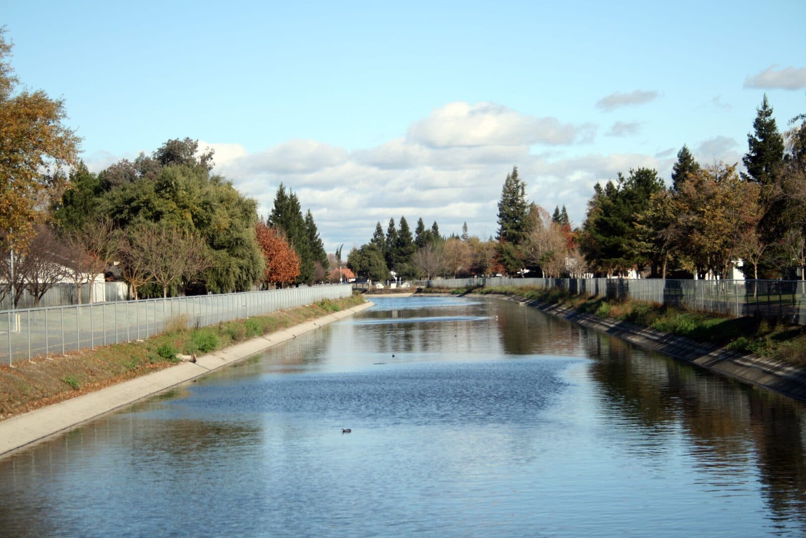
The Pocket is almost fully built out, with four mainly suburban neighborhoods of single-family homes, condos and townhomes, some with river views. Ranch-style homes from the late 1960s onward are the most common, and canals, greenbelts and parks run between the tracts.
Prices and the market
Redfin tracks the area as two neighborhoods. In the Pocket, the median sale price was $642,500 for the three months ending August 2026, down 5.3% from a year earlier, with homes going under contract in about 12 days. In Greenhaven it was $682,500, up 2.6%, with homes selling for about 5% over list. Zillow’s typical home value for the 95831 ZIP code was about $625,000 in August 2026.
Schools
The Pocket is in the Sacramento City Unified School District. Genevieve F. Didion TK–8 School (6490 Harmon Drive) is named for a longtime school board member and backs up to Lewis Park. John F. Kennedy High School (6715 Gloria Drive), which opened in 1967, enrolls about 1,660 students. Caroline Wenzel and John Cabrillo elementary schools and Sam Brannan Middle School are also in the area. Check the assigned schools for a specific address with SCUSD’s School Finder.
Getting around
Interstate 5 runs along the east side, with exits at 43rd Avenue, Florin Road and Pocket/Meadowview Road. The Pocket Transit Center connects SacRT buses to downtown, including peak-hour commuter buses. There is no light rail in the Pocket, so most residents drive.
Parks and local spots
Garcia Bend Park, the Pocket Canal Parkway and the river levee trail are the big outdoor draws, along with neighborhood parks like Seymour, Marriott and Zacharias. The Promenade and Lake Crest Village shopping centers cover everyday errands.
Flood protection
Like much of Sacramento, the Pocket relies on river levees for flood protection. Buyers should look up a home’s flood zone and any flood insurance requirements as part of their due diligence.