Neighborhood guide
Living in East Sacramento
Sacramento’s classic streetcar suburb just east of Midtown: tree-lined streets, McKinley Park, the Fab 40s, and homes built mostly from the 1920s through the 1940s.
Where it is
East Sacramento sits immediately east of the central city, bounded roughly by Business 80 (the Capital City Freeway) on the west and north and Highway 50 on the south, with Sacramento State and the American River to the east. Its homes carry ZIP codes 95819 and 95816. The city’s broader East Sacramento planning area also includes College/Glen, the Sac State campus and River Park.
A short history
Development began in the 1890s along a streetcar line, and through the 1920s homes spread east over former farmland. The East Sacramento Chamber of Commerce dates most of the neighborhood to the 1920s through the 1940s.
The Fab 40s, the streets from roughly 38th to 47th between J Street and Folsom Boulevard, grew up at the end of the streetcar line, which is why the old turnaround at 46th and J left one of the widest streets in the area. Ronald Reagan lived at 1341 45th Street while he was governor.
The homes
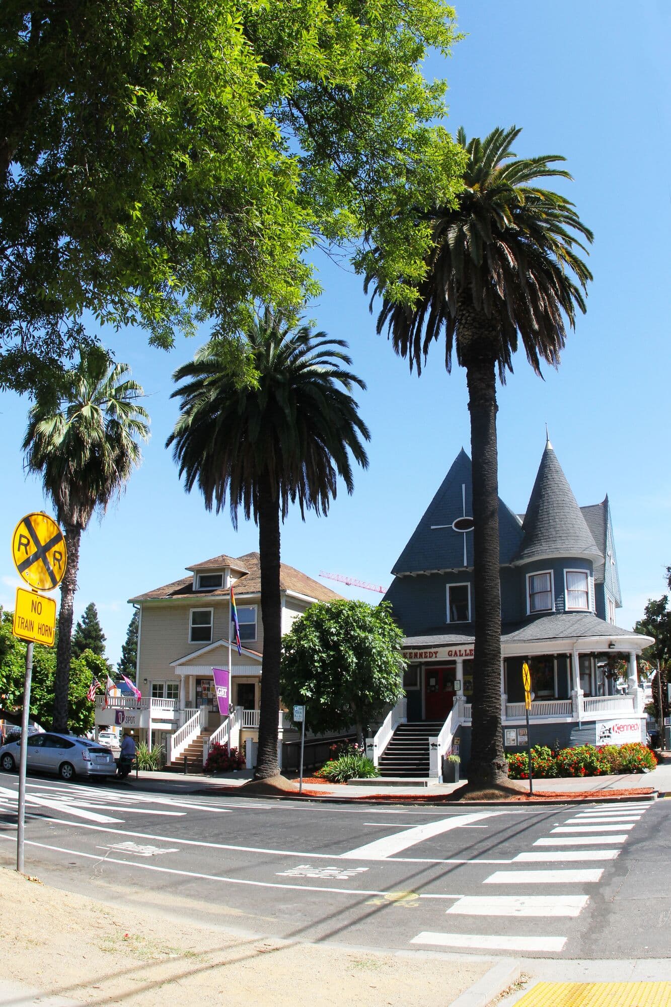
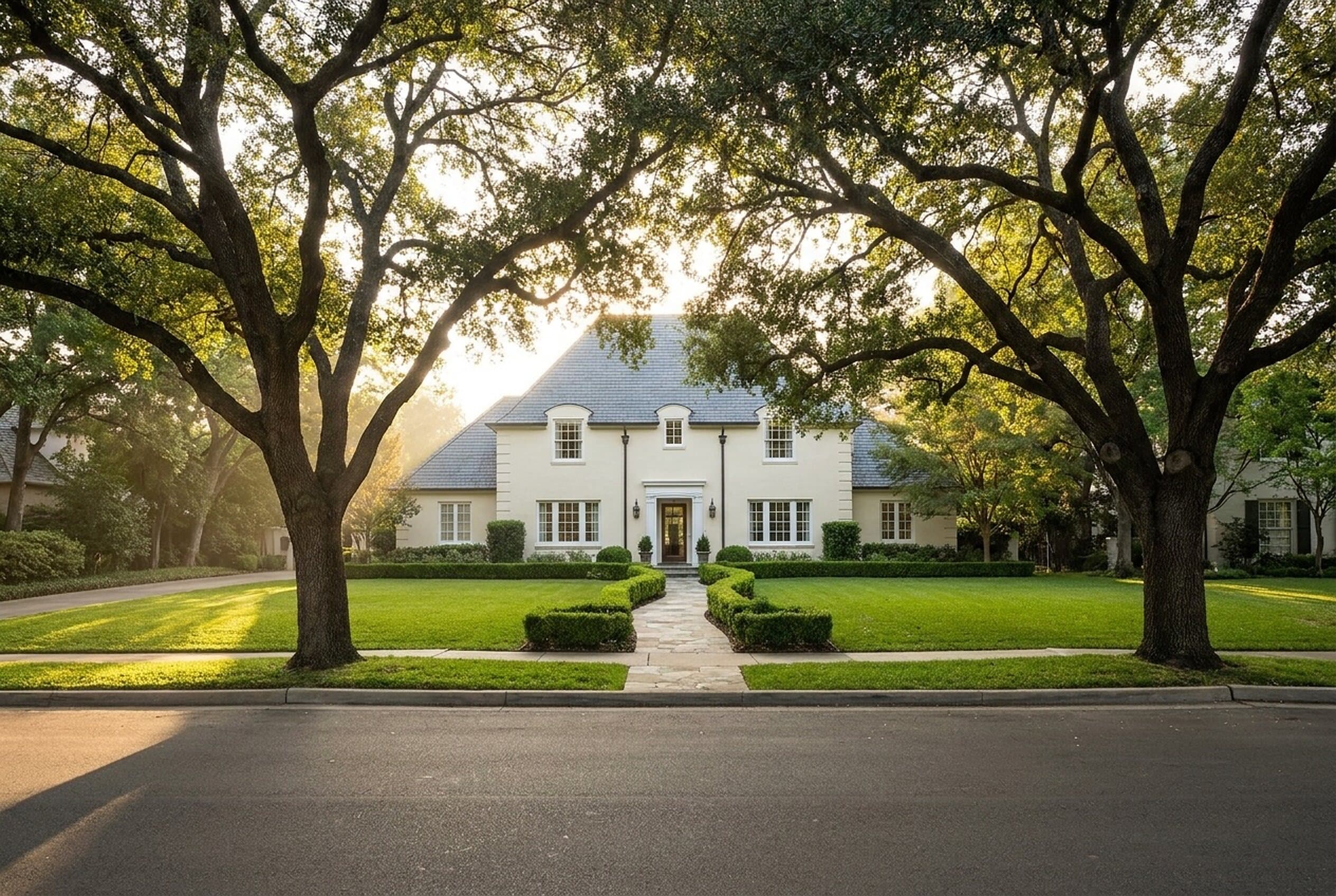
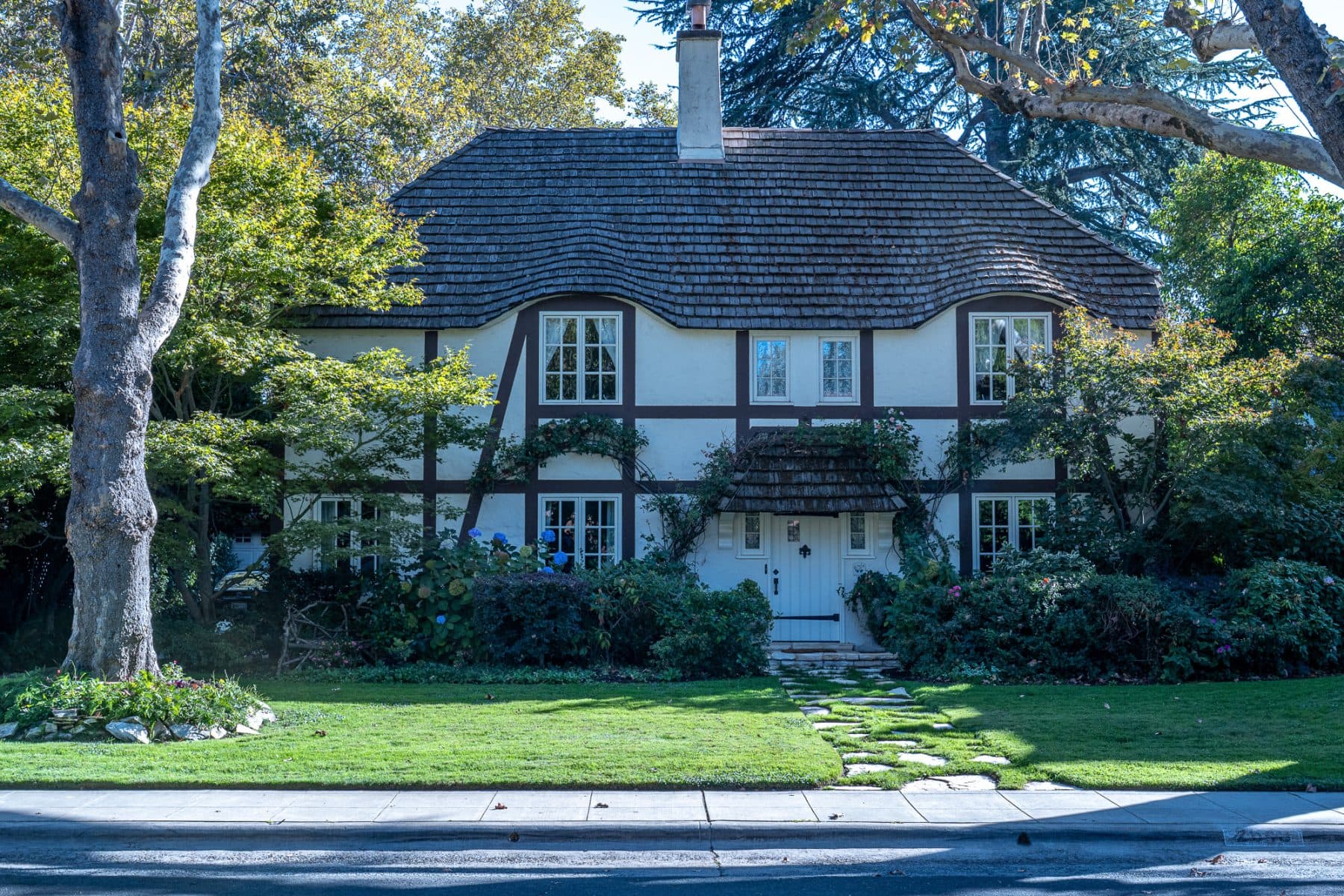
The Fab 40s are known for generous lots, wide streets and English, Spanish, Colonial and Renaissance Revival homes. The rest of East Sac mixes stately houses with brick homes, bungalows and cottages. The John T. Greene house at 3200 H Street, built in 1915, is a Greene & Greene design. Across the planning area, about three-quarters of the roughly 14,900 homes are single-family.
Prices and the market
East Sac is one of Sacramento’s most competitive neighborhoods. Redfin’s median sale price was $816,000 for the three months ending August 2026, up 0.9% from a year earlier. The typical home went under contract in about 13 days, sold for about 1.5% over list, and nearly half sold above asking. Zillow’s typical home value was about $777,000 in August 2026.
Schools
East Sacramento is in the Sacramento City Unified School District. Theodore Judah Elementary (K–6, 3919 McKinley Boulevard) is the neighborhood’s historic school, and Phoebe A. Hearst, Caleb Greenwood and David Lubin elementary schools also serve the area. The McKinley Library sits inside McKinley Park. Check the assigned schools for a specific address with SCUSD’s School Finder.
Getting around
Walk Score rates East Sac 72 for walking, 88 for biking and 36 for transit. SacRT’s Gold Line light rail runs along the southern edge with stations at 39th Street, 48th Street, 59th Street and University/65th Street, and Highway 50 and Business 80 are minutes away.
Parks and local spots
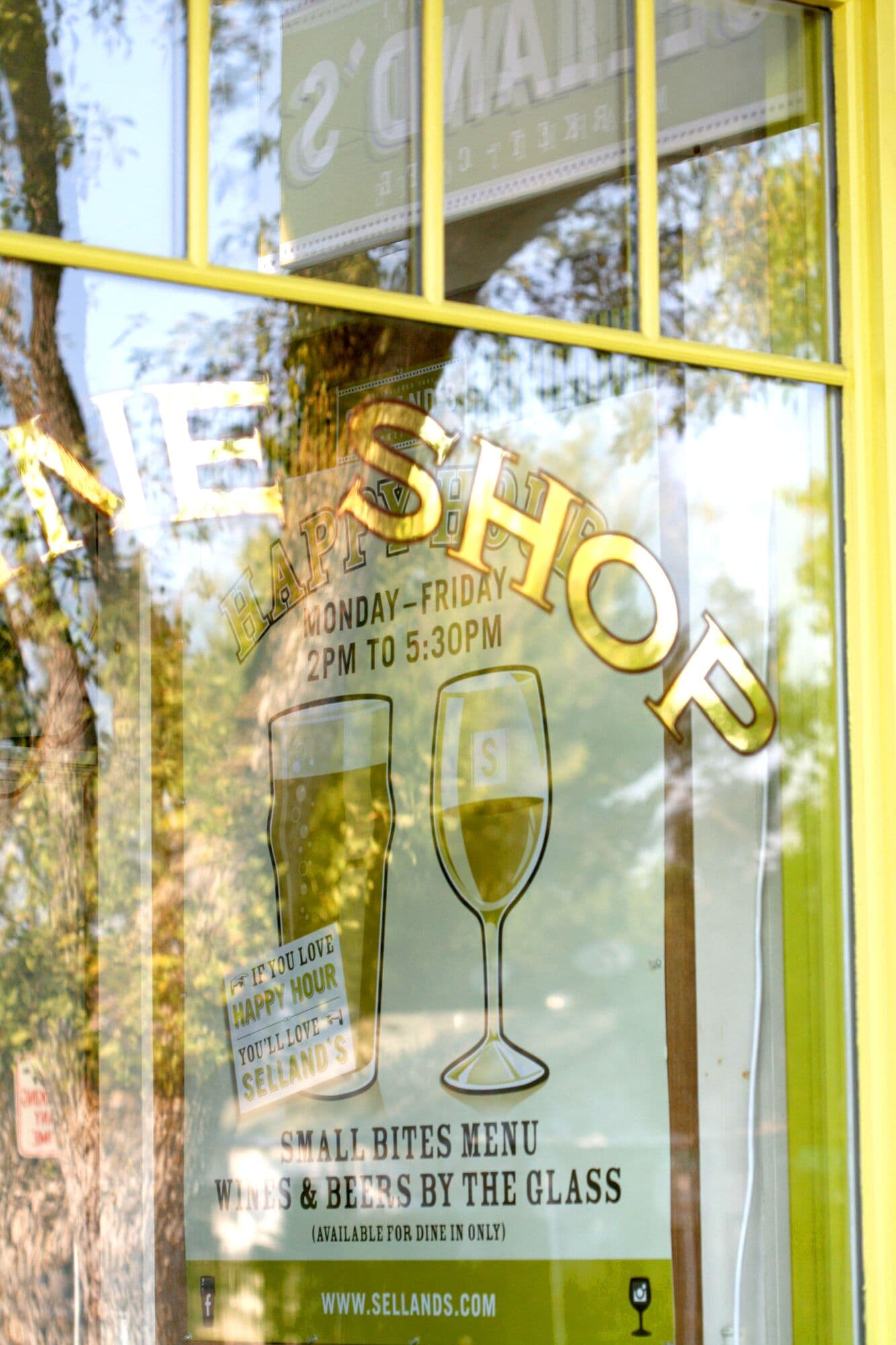
McKinley Park, with its rose garden, pool and duck pond, is the neighborhood’s center. Selland’s Market-Café on H Street is a longtime neighborhood favorite, and smaller restaurants and shops are scattered along Folsom Boulevard and J Street.
Neighborhood events
The East Sacramento Chamber of Commerce, founded in 1996, hosts Taste of East Sacramento each spring, Savor East Sac in summer and Shop East Sac during the holidays. In December, Fab 40s residents light up their homes for a decades-old holiday lights tradition that draws visitors from across the region.