Neighborhood guide
Living in Rancho Cordova
A city of about 80,000 people on Highway 50, incorporated in 2003, with established neighborhoods north of the freeway and new master-planned communities to the south.
Where it is
Rancho Cordova is an incorporated city east of Sacramento along Highway 50 and Folsom Boulevard, covering about 35 square miles. Its ZIP codes are 95670, 95742, 95741 and 95827, and the city includes about six miles of the American River. Sacramento Mather Airport, a county airport, sits just south of the city.
A short history
The area began as Hangtown Crossing on the Gold Rush road east of Sacramento, and the 1911 Mills Station building still stands as a reminder. Mather Field opened as an Army airfield in 1918, and Aerojet’s move up from Los Angeles brought thousands of workers. The community took the name Rancho Cordova, after the Cordova Vineyard, when its post office opened in 1955.
Mather Air Force Base closed in 1993. After attempts in 1961 and 1978, voters approved cityhood in 2002, and Rancho Cordova became California’s 478th city on July 1, 2003.
The homes
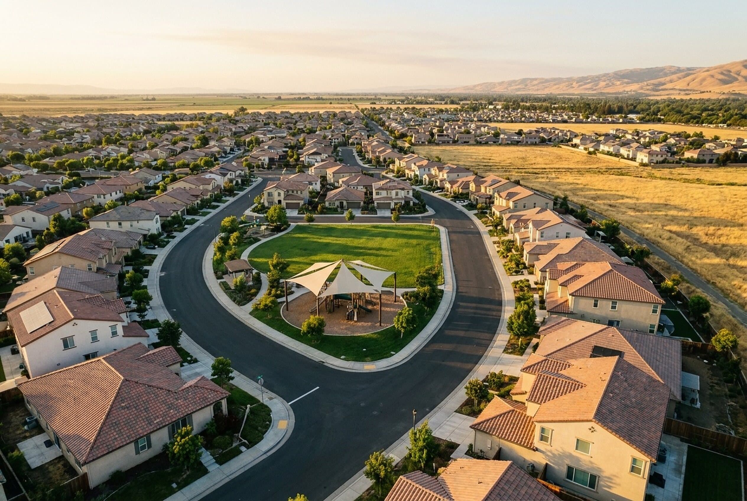
North of Highway 50 are the established neighborhoods that grew up around Mather and Aerojet. South of the freeway is what the city calls its newly developing area. The Sunridge plan area includes Anatolia, whose nearly 2,100 homes were mostly built in the early 2000s and share four parks and a 12,000-square-foot clubhouse, along with newer communities such as Montelena and The Ranch. Rio Del Oro, planned for about 12,200 homes, is the largest development in the city’s history.
Prices and the market
Redfin’s median sale price for Rancho Cordova was $535,000 for the three months ending August 2026, down 2.7% from a year earlier, with homes taking about 40 days to sell. Zillow’s typical home value was about $529,000 in August 2026.
Schools
Two districts serve Rancho Cordova. Folsom Cordova Unified, headquartered in the city, runs schools in the established areas, including Cordova High School (2239 Chase Drive, opened 1963) and Mills Middle School (10439 Coloma Road). Elk Grove Unified serves much of the newer growth south of Highway 50, including Anatolia. Confirm the assigned schools for any address with the district.
Getting around
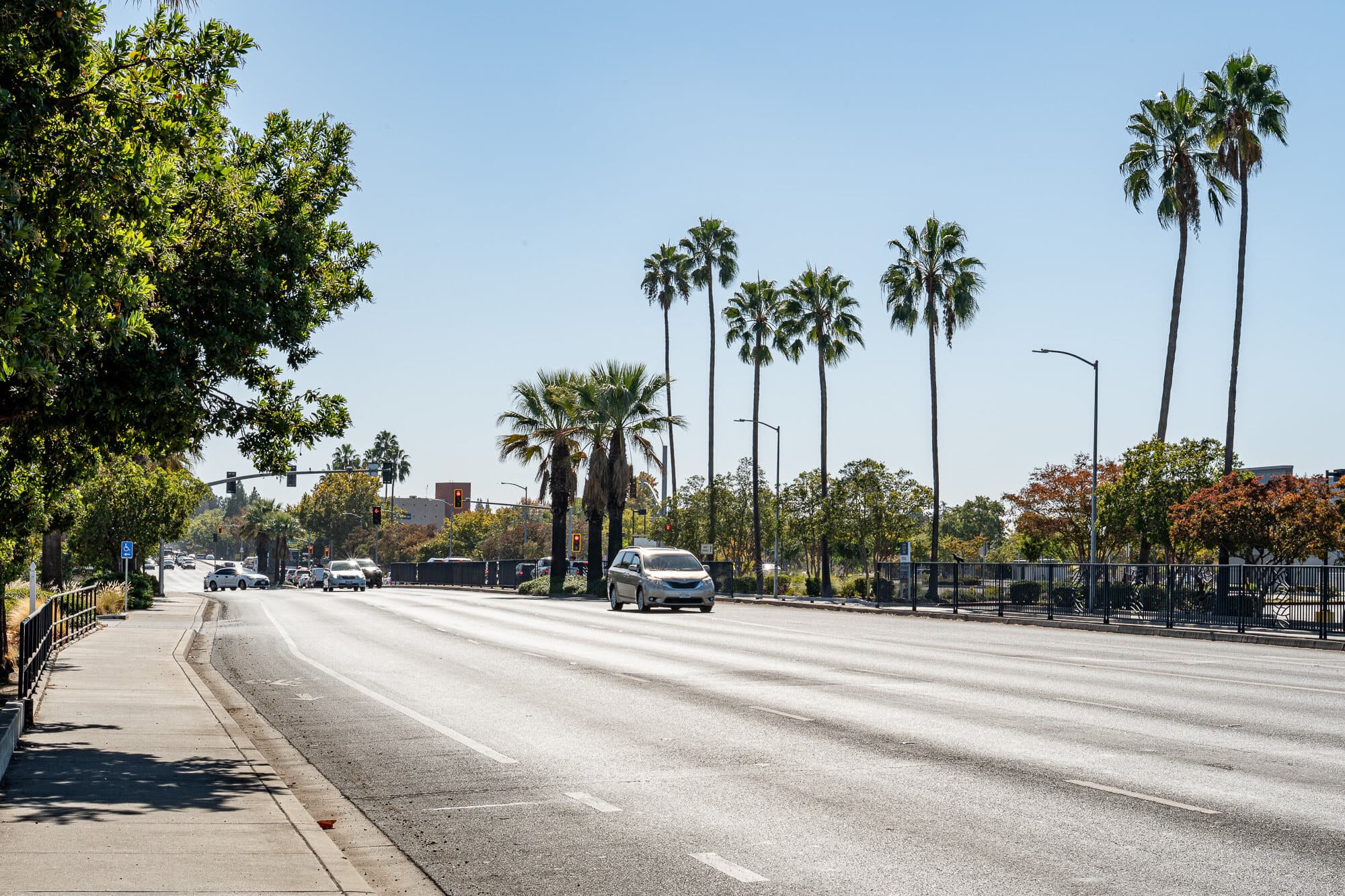
Highway 50 and State Route 16 are the main roads. SacRT’s Gold Line light rail runs through the city, with stations at Mather Field/Mills, Zinfandel, Cordova Town Center, Sunrise and Hazel, so commuters can ride to downtown without driving.
Parks and local spots
The Cordova Recreation and Park District runs the city’s parks, led by Hagan Community Park on the American River, and the city counts about 26 miles of bike and pedestrian trails. KP International Market on Olson Drive and the Mills Station Arts and Culture Center are local favorites.
Community events
The Cordova Community Council runs the city’s big traditions at Hagan Community Park: a two-day Fourth of July celebration, which reached its 41st year in 2026, and Kids Day each spring, now in its 36th year. The council also puts on Rancho Cordova iFest.